Saturday Jun 13, 2026
Saturday Jun 13, 2026
Saturday, 2 June 2018 00:10 - - {{hitsCtrl.values.hits}}
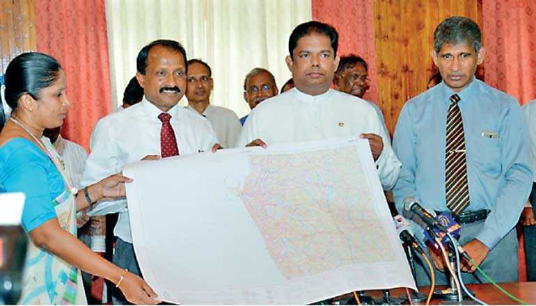
Survey General P. M. P Udayakantha presenting the new map to the Land and Parliamentary reforms Minister Gayan Karunathilaka
New map
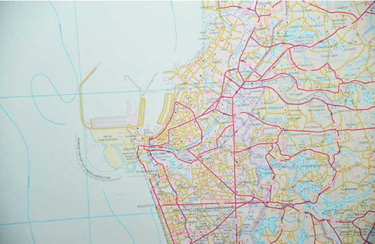
The newest map of Colombo, which now includes the Colombo Port City, was released by the Survey department.
The map, designed by the Survey Department of Sri Lanka, also records an expansion of Colombo city by 474.5 hectares, which includes the expressway and other related development projects
The new design was presented to the Land and Parliamentary reforms Minister Gayan Karunathilaka by Survey General P. M. P Udayakantha at the event held at the Survey Department in Narahenpita on Thursday.
The preparation of the new map of Sri Lanka started in 2015, and 72 out of 92 parts in it have been concluded. The remaining 20 parts of the map will be completed by the end of this year, and the map will be published, Udayakantha said.
The Minister said that the first person to be involved in any development project is the surveyor as measurement of the land and preparation of plans are all done by the surveyor. We should all appreciate the silent service rendered by surveyors in development projects, he said.
The Secretary of the Land and Parliamentary Reforms Ministry W. H. Karunaratne, and senior officers of the Survey Department participated in this event.


